
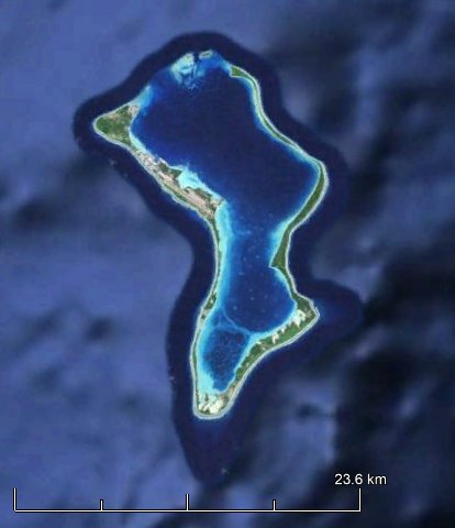
GeographyThe Chagos Archipelago is located at 06o26’ south and 72o00’ east, approximately 2,200 km north-east of the main Island of Mauritius. It has an area of 60 km2. The Chagos Archipelago is composed of numerous atolls and islands. The largest atolls are Diego Garcia in the south-east and Peros Banhos and Salomon Islands, both in the north. The largest individual islands are Diego Garcia, Eagle Island (Great Chagos Bank), Ile Pierre (Peros Banhos), Eastern Egmont (Egmont Islands), Ile du Coin (Peros Banhos) and Ile Boddam (Salomon Islands). | 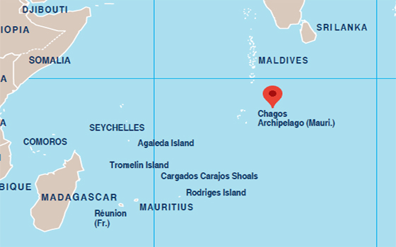 |
HistoryOriginally discovered by Portuguese explorers in the early 16th century, the Chagos Archipelago was later claimed by France in the 18th century before becoming a British colony in the 19th century as an integral part of Mauritius. In 1965, three years before Mauritius obtained its independence, the Chagos Archipelago was illegally excised by the United Kingdom from the territory of Mauritius. The Advisory Opinion of the International Court of Justice (ICJ) of 25 February 2019, UN General Assembly Resolution 73/295 and the Judgment of the Special Chamber of the International Tribunal for the Law of the Sea (ITLOS) of 28 January 2021 have made it clear that as a matter of international law, the Chagos Archipelago forms an integral part of the territory of Mauritius.
|   |