Mauritius lies approximately 2,000 km off the southeast coast of Africa and 800 km east of Madagascar, positioned between latitudes 19°58.8'S and 20°31.7'S and longitudes 57°18.0'E and 57°46.5'E. The island measures 65 km in length and 45 km in width, covering a land area of 1,864.8 square kilometers. It belongs to the Mascarene Islands, along with Réunion, and Rodrigues. Mauritius has a varied and rich history, culture, geographical features and other characteristics that can be found in the Government Portal. The following sections highlights a few features. Climate The island experiences two distinct seasons: a warm and humid summer (November to April) and a cool and dry winter (June to September); May and October being the transition months. Temperature variations remain relatively small, with average summer temperatures hovering around 24.7°C and winter temperatures averaging 20.4°C. Rainfall patterns exhibit seasonality, with February and March receiving the most precipitation, while October remains the driest month. Long term mean annual rainfall (from 1971-2000) over the island is 2010 mm. (More) Topography Geologically, Mauritius is relatively young, formed by volcanic activity around 8 million years ago. It emerged from massive underwater volcanic eruptions. Mauritius features a diverse topography that includes coastal plains, central plateaus, and several mountain ranges. Mauritius is encircled by mountain ranges with heights ranging from 300 to 800 meters above sea level. The land ascends from coastal plains to a cooler and greener central plateau, reaching a maximum height of 670 meters. The island's highest point is Piton de la Petite Rivière Noire in the southwest, standing at 828 meters. Other notable peaks include Le Pouce, Pieter Both, and the iconic Le Morne Brabant, a UNESCO World Heritage Site celebrated for its historical significance and breathtaking vistas. Numerous streams and rivers traverse the island, many formed by ancient lava flows. Land Use Land Cover Mainland Mauritius enchants all with its stunning landscapes and vibrant culture. Mauritius is adorned with lush vegetation, boasting roughly 25% forest cover. However, a significant portion of this has been converted to secondary forests, leaving only about 2% remaining as native primary forest. Sugarcane cultivation has also played a historical role in land use, though its coverage has decreased in recent years. The island's natural resources are limited, and population growth along with development activities place constant pressure on these resources. (More) Coastal/Marine Environment The 322 km coastline of white sandy beaches of Mauritius is fringed by some 150 km stretch of coral reefs which not only provide a natural barrier but also create a vast turquoise lagoon area of approximately 243 km². These reefs, the world’s third-largest coral reef system, are home to a diverse array of marine life, including colorful fish, sea turtles, and vibrant coral formations. The lagoons and reefs not only enhance the island’s aesthetic appeal but also play a crucial role in protecting the coastline from erosion. Surrounding Mauritius are about 49 uninhabited islands and islets, some of which are designated natural reserves for endangered species. The island's volcanic origins, coupled with the numerous rivers and streams that flow into the lagoon, contribute to a remarkable diversity of marine habitats. Sandy beaches, coastal dunes, rocky shores, wetlands, mangroves, lagoon corals, and coral reefs all form a complex and interconnected ecosystem teeming with diverse marine life. Mangroves, seagrass beds, and coral reefs are particularly critical to the health of this rich coastal environment. This flourishing marine biodiversity provides the people of Mauritius with a multitude of valuable resources and services, including fisheries, tourism, and coastal protection. Biodiversity Mauritius is renowned for its rich biodiversity, both on land and in its surrounding waters. The island's isolation has resulted in a high level of endemism, with many species found nowhere else on Earth. Flora: The island's diverse flora includes over 700 species of flowering plants, of which approximately 311 are endemic. The Black River Gorges National Park, spanning more than 67 km2, is a sanctuary for many of these native plants, such as the rare tambalacoque tree, also known as the dodo tree. Mauritius also boasts a variety of palm species, ebony trees, and colorful orchids, adding to its botanical richness. Fauna: Mauritius is home to several unique animal species, including the Mauritian flying fox, the pink pigeon, and the echo parakeet. The island's waters are teeming with marine life, from the vibrant coral reefs to the deeper oceanic waters that attract dolphins, whales, and an array of fish species. Conservation efforts are ongoing to protect these species and their habitats, with several wildlife reserves and marine parks established to preserve the island's natural heritage. (More) | | 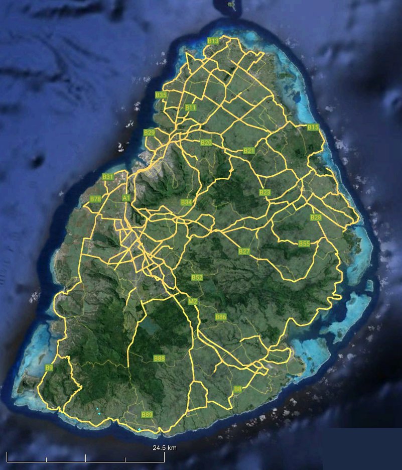
source: Google Earth Click HERE for a detailed map of Mauritius Environmental Challenges Like many Small Island Developing States, Mauritius faces significant environmental challenges. Climate change poses a major threat to the island's delicate ecosystem, with rising sea levels and changes in weather patterns impacting the coastline and coral reefs. Additionally, invasive species and pollution threaten the island's biodiversity. Understanding these challenges is crucial for ensuring a sustainable future for this island paradise. |
