

LAYERS | Disaster Risk Reduction and Management(sources: various including Disaster Management & Climate Change Handbook, 2024) | |
Dangerous Bathing Protected Areas Geo Hazards Technological Hazards Meteorological and Hydrological Hazards Key Players | ||
Sea Level Rise(source: DRR, 2013) | ||
| Sea Level Rise (1 m) | 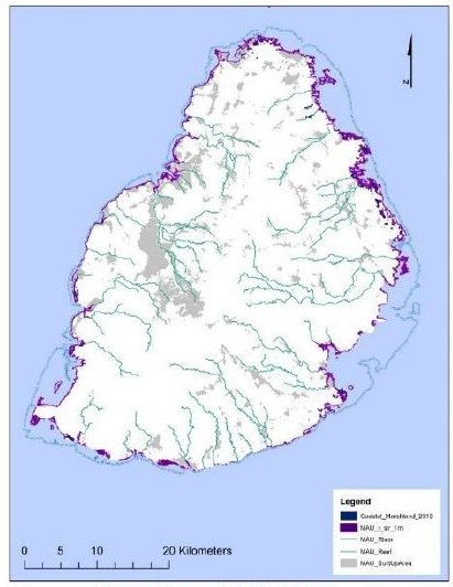 | |
SENDAI | Within the Sendai Framework disaster database, explore the charts, maps, and tables below, which will provide a basic understanding of the effects of many types of disasters in the region. Explore here |