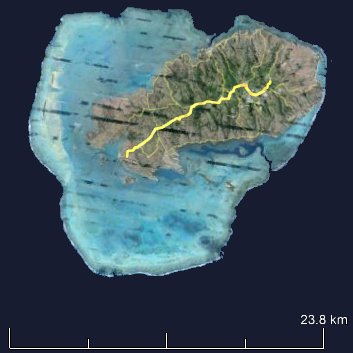
(source: Google Earth)
Encircling this volcanic marvel is a magnificent fringing reef, the longest in Mauritius at an impressive 90 km. This reef shelters a vast lagoon, a staggering 240 square kilometers in size. The width of the lagoon varies dramatically, ranging from a mere 50 m in the east to a sprawling 10 km in the west.
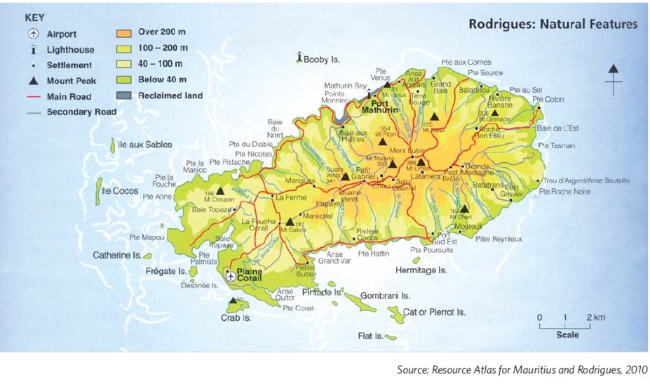
- Rodrigues, of volcanic origin some 625 kilometers northeast of Mauritius, is the youngest and smallest island in the Mascarene archipelago. This island paradise boasts a unique landscape, stretching 18.3 km long and 8 km wide, and encompassing a compact 108 square kilometers.
- A prominent central ridge, the island's backbone, runs east to southwest for about 10 kilometers. This ridge slopes gently westward, transforming into a flat, calcareous plain.
- Dramatic topography defines Rodrigues, with steep-sided valleys carved by rivers dissecting the ridge.
- Rodrigues's volcanic origins are evident in its composition, showcasing both basaltic lava and volcanic ash in different regions.
- Mont Limon, the island's highest peak, stands majestically at 398 meters, a silent sentinel guarding this volcanic wonder.